
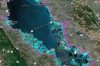
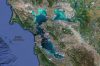
 Climate Change Vulnerability Mapping for Southeast Asia
International Development Research Centre (IDRC)
Southeast Asia
Credit: Economy and Environment Program for Southeast Asia

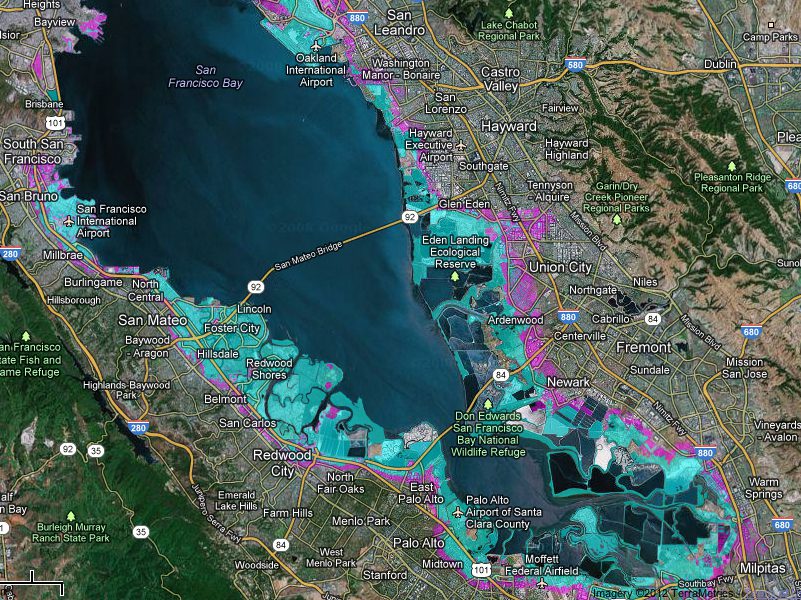
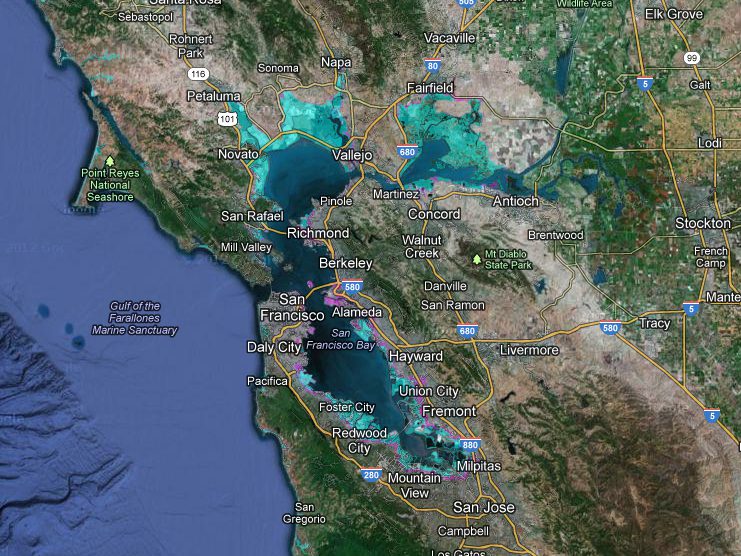

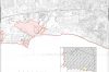
Natural and weather-related hazard mapping identifies the potential impacts of flooding, landslides, hurricanes, earthquakes, drought, and wildfires.
As climate changes, weather-related phenomena hazardous to human settlements are projected to intensify. Mapping potential hazards increase the likelihood that the information will be used in planning future development and will provide information to current residents to act on warning and evacuating measures.
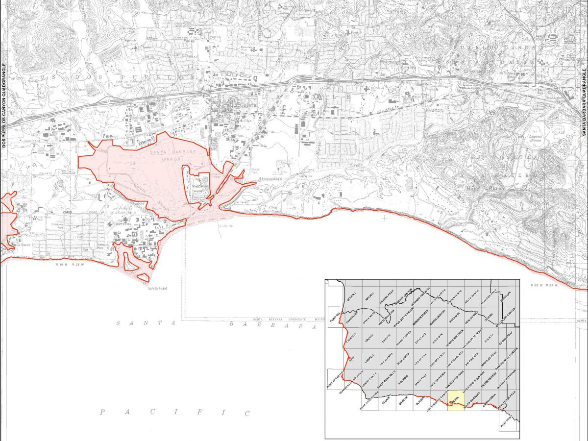
Hazard mapping incorporates:
- A base map – a topographic map of the area studied.
- A hazard record map – location of events occurring based on geological and scientific evidence, and historical data.
- A hazard forecast map – illustrating the location, severity, and likelihood of occurrence of hazardous phenomena.


