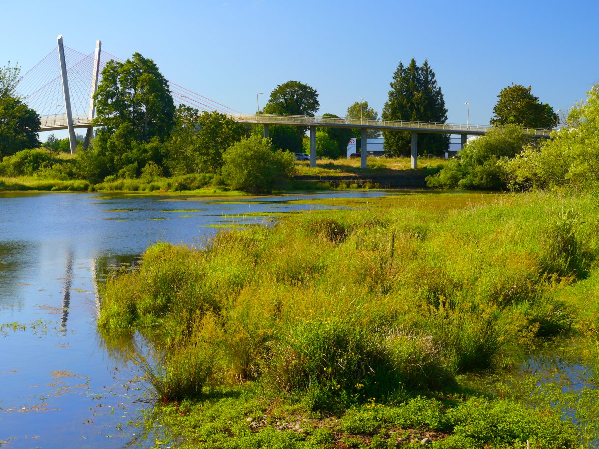
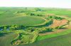
- Delta Ponds Riparian Area
City of Eugene
Eugene, Oregon, United States
Credit: Rick Obst. Licensed under Creative Commons - Texas Riparian Area
Credit: USDA Natural Resources Conservation Service (NRCS) Texas - Riparian Buffer on Bear Creek
Story County, Iowa, United States
Credit: Lynn Betts, USDA - Corsica River Mouth
Chesapeake Bay, Maryland, United States
Credit: Ben Longstaff, Integration and Applied Network, University of Maryland Center for Environmental Science - Farming on the Eastern Shore
Chesapeake Bay, Maryland, United States
Credit: Ben Longstaff, Integration and Applied Network, University of Maryland Center for Environmental Science - Flood Plain Along Penn Creek
Pennsylvania, United States
Credit: Cynthia J. O'Hara - Menomonee Valley Restoration
Wenk Associates of Denver, CO., Applied Ecological Services of Broadhead, WI., and HNTB of Milwaukee
Milwaukee, Wisconsin, United States
Credit: Nancy M. Aten, Landscape of Place LLC - Peninsula de Osa Oil Palms
Osa Peninsula, Puntarenas, Costa Rica
Credit: Tim Bromilow - Riparian Buffer on Bear Creek
Story County, Iowa, United States
Credit: USDA - Riparian strip on Lake Erie tributary
Putnam County, Ohio, United States
Credit: USDA
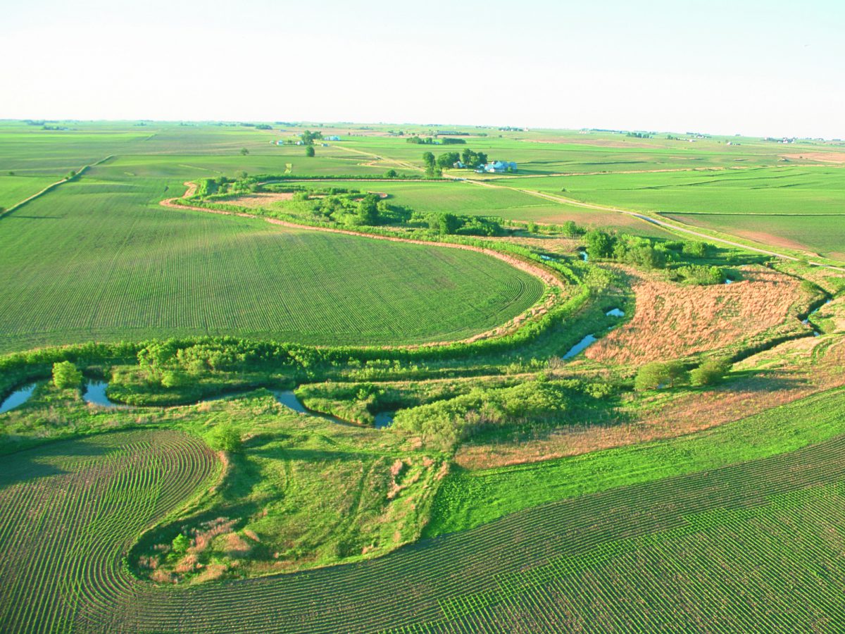
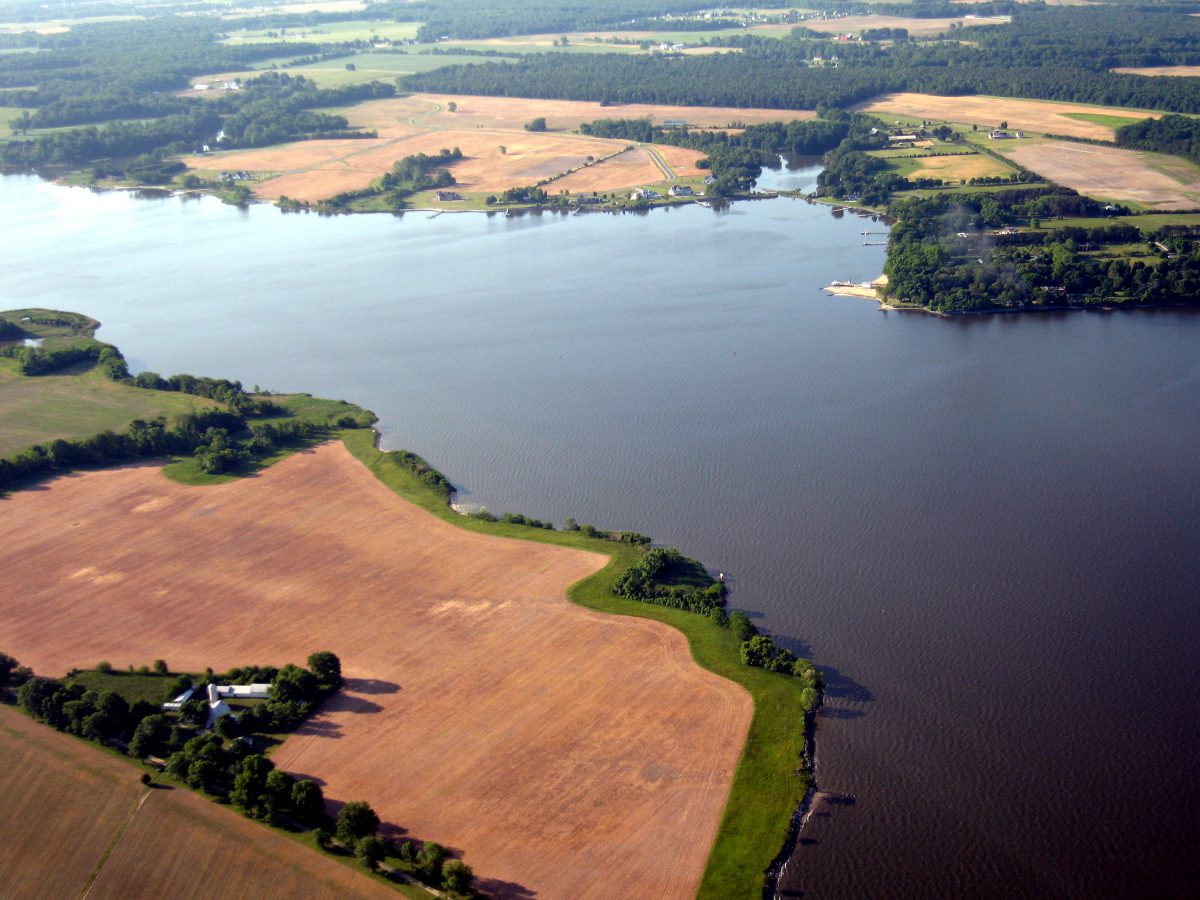
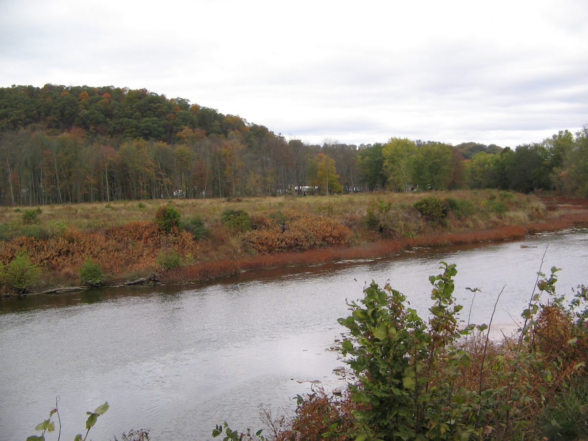
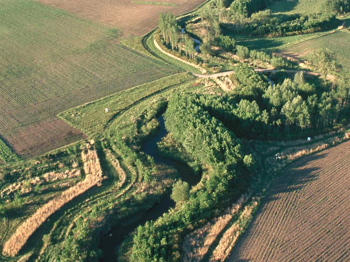
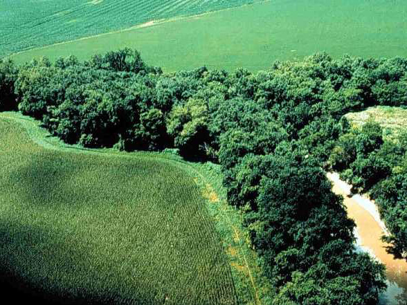
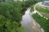
河岸缓冲带,即毗邻于水体的天然或人工植被区,可减少雨水污水径流、过度沉积和侵蚀,并有助于地下水补给。
如果开发地段过于靠近海岸线和水岸,在其附近的池塘、湖泊和河流的水质会受到负面影响。
河岸缓冲带至少为30米(100英尺)宽,且:
- 延伸至水体部分的长度至少7.5到15米( 25至50英尺);
- 从水体的边缘至陆地的延伸长度至少15至30米( 50至100英尺)。
河岸缓冲带的坡度应小于5% ,宽度应随坡度的增加而增加。缓冲区越宽,就越能发挥作用